Mayflower, Southampton
Scene meta data
- Scene ID
- #56
- Measurement date
- 26 February 2016
- Category name
- (O - 14). Residential: High density residential
- Category description
Continuous building rows, little vegetation, buildings having 3 or more storeys, typically found in city centres in big and mid range cities can include dense residential areas with courtyard style gardens.
- Latitude
- 50.90814
- Longitude
- -1.410483
Scene previews
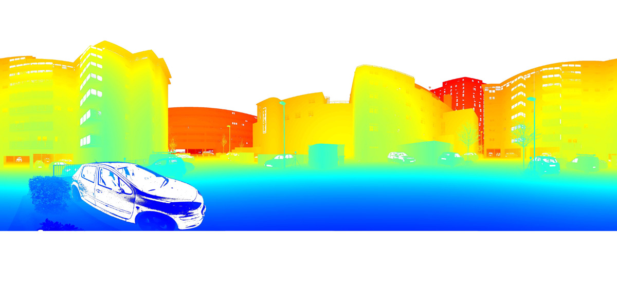
Pointcloud preview
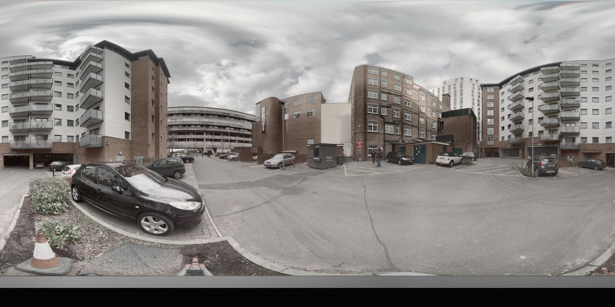
Panorama preview
Downloads
| Name | Kind | File size |
|---|---|---|
| O_14_56.txt | Info | 634.0 B |
| clean_cloud56_UPDATE.pcd_.zip | Pointcloud | 293.3 MB |
| rep1-55.hdr | Panorama | 40.5 MB |
| rep2-51.hdr | Panorama | 40.6 MB |
| scene56_small_rgb.csv | WebGL RGB | 5.0 MB |
| scene56_small_xyz.csv | WebGL XYZ | 13.2 MB |
| StereoNEF-49.zip | Stereo | 903.8 MB |
| ThumbNails-53.zip | Stereo | 19.6 MB |
| Scene56_Res600_900_Depth.zip | Stereo LiDar 600x900 Depth Maps | 28.9 MB |
| Scene56_Res600_900_Masks.zip | Stereo LiDar 600x900 Motion Masks | 1.1 MB |
| Scene56_Res600_900_StereoIm.zip | Stereo LiDar 600x900 Stereo Images | 43.7 MB |
| Scene56_Res688_1032_Depth.zip | Stereo LiDar 688x1032 Depth Maps | 36.7 MB |
| Scene56_Res688_1032_Masks.zip | Stereo LiDar 688x1032 Motion Masks | 3.1 MB |
| Scene56_Res688_1032_StereoIm.zip | Stereo LiDar 688x1032 Stereo Images | 57.2 MB |
| SYNS-Scene-56.zip | Combined ZIP | unknown |