Holdenhurst, Bournemouth
Scene meta data
- Scene ID
- #71
- Measurement date
- 15 March 2016
- Category name
- (O - 02). Agriculture : Mixed use
- Category description
Areas of generally open fields, but with some sparsely distributed single mature trees or very small groups of tress. It may include small groups of trees on open land, garden and parklands with trees. Tree cover density should not exceed about 30%.
- Latitude
- 50.75643
- Longitude
- -1.82096
Scene previews
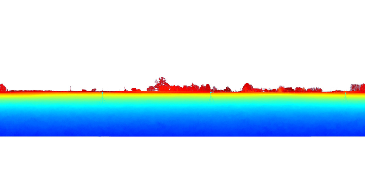
Pointcloud preview
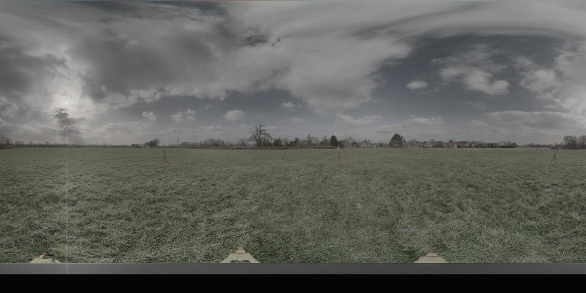
Panorama preview
Downloads
| Name | Kind | File size |
|---|---|---|
| O_2_71.txt | Info | 708.0 B |
| clean_cloud71_UPDATE.pcd_.zip | Pointcloud | 181.2 MB |
| rep1-70.hdr | Panorama | 40.7 MB |
| rep2_SUN.hdr | Panorama | 41.4 MB |
| scene71_small_rgb.csv | WebGL RGB | 2.4 MB |
| scene71_small_xyz.csv | WebGL XYZ | 7.3 MB |
| StereoNEF_E1-8.zip | Stereo | 948.0 MB |
| StereoNEF_E2-7.zip | Stereo | 934.1 MB |
| ThumbNails-68.zip | Stereo | 29.8 MB |
| Scene71_Res600_900_Depth.zip | Stereo LiDar 600x900 Depth Maps | 20.8 MB |
| Scene71_Res600_900_StereoIm.zip | Stereo LiDar 600x900 Stereo Images | 34.9 MB |
| Scene71_Res688_1032_Depth.zip | Stereo LiDar 688x1032 Depth Maps | 26.0 MB |
| Scene71_Res688_1032_StereoIm.zip | Stereo LiDar 688x1032 Stereo Images | 46.0 MB |
| SYNS-Scene-71.zip | Combined ZIP | unknown |