North Baddesley
Scene meta data
- Scene ID
- #2
- Measurement date
- 01 June 2014
- Category name
- (O - 15). Residential: Low density residential
- Category description
Smaller single or continuous buildings (typically family homes), typically of 1 or 2 storey height and with high percentage of vegetation (gardens). Areas made up of either small blocks of terraced house or semi-detached houses with gardens, normally situated outside the city centre are included in this category.
- Latitude
- 50.9801215
- Longitude
- -1.4531424
Scene previews
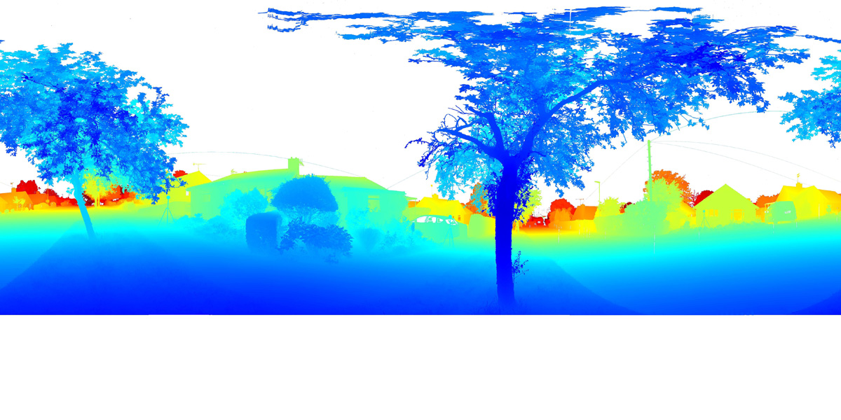
Pointcloud preview
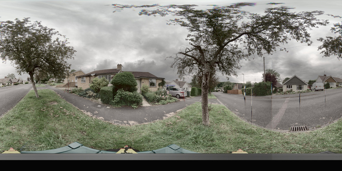
Panorama preview
Downloads
| Name | Kind | File size |
|---|---|---|
| O_15_2.txt | Info | 630.0 B |
| clean_cloud2_UPDATE.pcd_.zip | Pointcloud | 332.9 MB |
| rep1-1.hdr | Panorama | 43.0 MB |
| rep2-1.hdr | Panorama | 42.9 MB |
| scene2_small_rgb.csv | WebGL RGB | 4.8 MB |
| scene2_small_xyz.csv | WebGL XYZ | 12.8 MB |
| StereoNEF-1.zip | Stereo | 946.6 MB |
| ThumbNails.zip | Stereo | 18.6 MB |
| Scene2_Res600_900_Depth-1.zip | Stereo LiDar 600x900 Depth Maps | 28.5 MB |
| Scene2_Res600_900_StereoIm.zip | Stereo LiDar 600x900 Stereo Images | 41.6 MB |
| Scene2_Res688_1032_Depth.zip | Stereo LiDar 688x1032 Depth Maps | 36.0 MB |
| Scene2_Res688_1032_StereoIm.zip | Stereo LiDar 688x1032 Stereo Images | 54.6 MB |
| SYNS-Scene-2.zip | Combined ZIP | unknown |