Havant
Scene meta data
- Scene ID
- #7
- Measurement date
- 04 June 2014
- Category name
- (O - 16). Residential: Medium density residential
- Category description
Larger single or continuous buildings between 3 and 5 storeys (approx 10m to 18m), with some vegetation in between (e.g.. apartment buildings). Usually included in this category would be post war local authority estates, usually at the edge of city centres and rows of terraced houses not more than 3 storeys high, usually with small gardens.
- Latitude
- 50.85665
- Longitude
- -0.99495
Scene previews
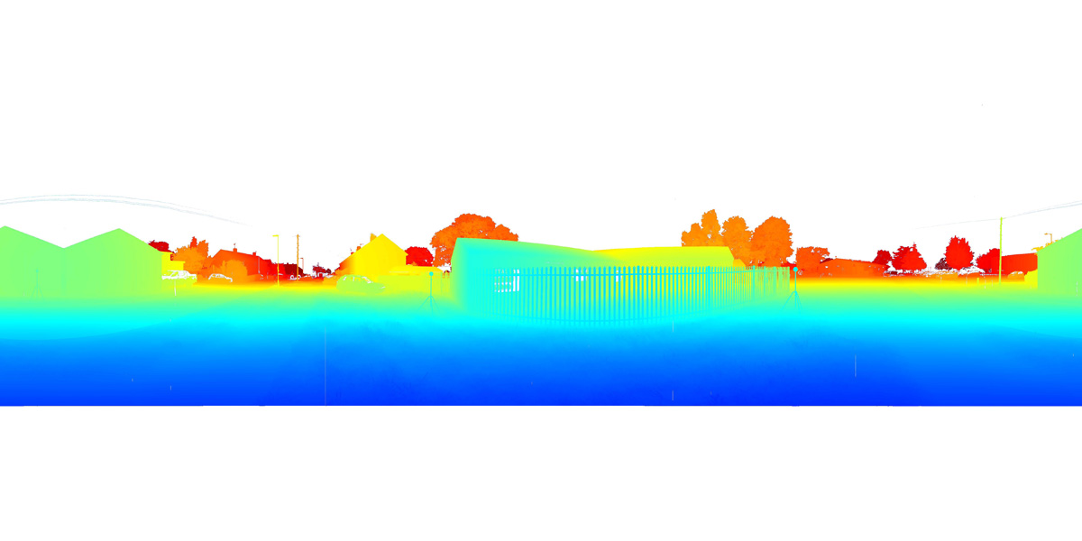
Pointcloud preview
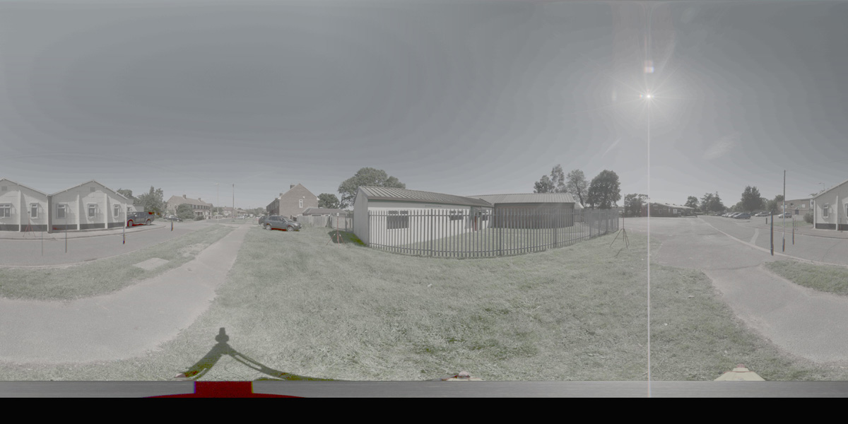
Panorama preview
Downloads
| Name | Kind | File size |
|---|---|---|
| O_16_7.txt | Info | 622.0 B |
| clean_cloud7_UPDATE.pcd_.zip | Pointcloud | 212.3 MB |
| rep1-6.hdr | Panorama | 41.6 MB |
| rep2-5.hdr | Panorama | 41.6 MB |
| scene7_small_rgb.csv | WebGL RGB | 3.4 MB |
| scene7_small_xyz.csv | WebGL XYZ | 8.4 MB |
| StereoNEF-6.zip | Stereo | 1.8 GB |
| ThumbNails-5.zip | Stereo | 16.9 MB |
| Scene7_Res600_900_Depth.zip | Stereo LiDar 600x900 Depth Maps | 25.4 MB |
| Scene7_Res600_900_Masks.zip | Stereo LiDar 600x900 Motion Masks | 277.5 KB |
| Scene7_Res600_900_StereoIm.zip | Stereo LiDar 600x900 Stereo Images | 38.3 MB |
| Scene7_Res688_1032_Depth.zip | Stereo LiDar 688x1032 Depth Maps | 31.6 MB |
| Scene7_Res688_1032_Masks.zip | Stereo LiDar 688x1032 Motion Masks | 1.0 MB |
| Scene7_Res688_1032_StereoIm.zip | Stereo LiDar 688x1032 Stereo Images | 50.4 MB |
| SYNS-Scene-7.zip | Combined ZIP | unknown |