Agricultural field nr. East Meon
Scene meta data
- Scene ID
- #23
- Measurement date
- 17 June 2014
- Category name
- (O - 01). Agriculture : Mainly crops
- Category description
Farm land and agricultural areas, essentially devoid of trees, used for arable fields, pastures and any other type of low crops (< about 2m). Vineyards, hop yards, orchards and woods are excluded from this category.
- Latitude
- 50.98815
- Longitude
- -1.05936
Scene previews
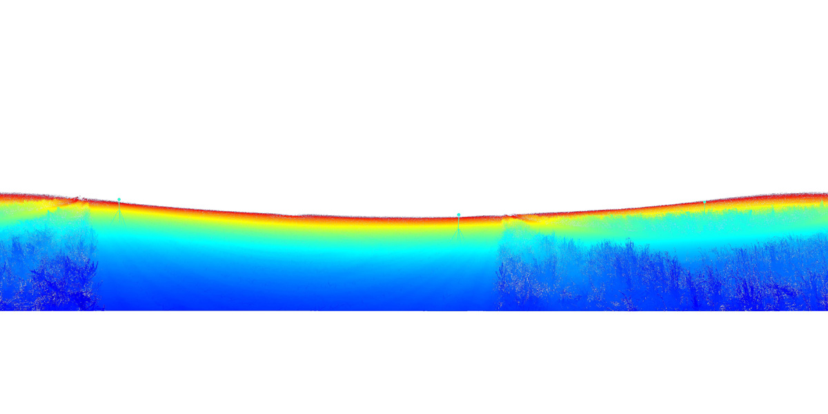
Pointcloud preview
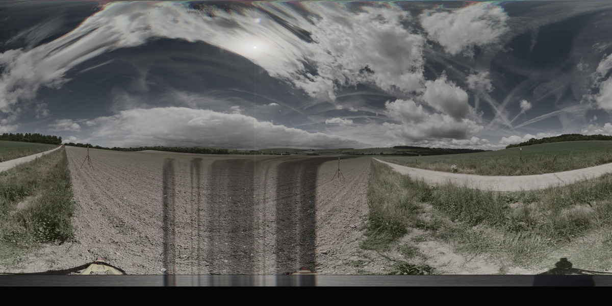
Panorama preview
Downloads
| Name | Kind | File size |
|---|---|---|
| O_1_23.txt | Info | 646.0 B |
| clean_cloud23_UPDATE.pcd_.zip | Pointcloud | 168.0 MB |
| rep1-22.hdr | Panorama | 41.3 MB |
| rep2-20.hdr | Panorama | 41.2 MB |
| scene23_small_rgb.csv | WebGL RGB | 2.2 MB |
| scene23_small_xyz.csv | WebGL XYZ | 6.3 MB |
| StereoNEF-19.zip | Stereo | 934.4 MB |
| ThumbNails-21.zip | Stereo | 16.7 MB |
| Scene23_Res600_900_Depth.zip | Stereo LiDar 600x900 Depth Maps | 10.2 MB |
| Scene23_Res600_900_StereoIm.zip | Stereo LiDar 600x900 Stereo Images | 23.3 MB |
| Scene23_Res688_1032_Depth.zip | Stereo LiDar 688x1032 Depth Maps | 12.5 MB |
| Scene23_Res688_1032_StereoIm.zip | Stereo LiDar 688x1032 Stereo Images | 30.6 MB |
| SYNS-Scene-23.zip | Combined ZIP | unknown |