Vernon Hill, Ashton
Scene meta data
- Scene ID
- #51
- Measurement date
- 02 March 2016
- Category name
- (O - 01). Agriculture : Mainly crops
- Category description
Farm land and agricultural areas, essentially devoid of trees, used for arable fields, pastures and any other type of low crops (< about 2m). Vineyards, hop yards, orchards and woods are excluded from this category.
- Latitude
- 50.96289
- Longitude
- -1.20953
Scene previews
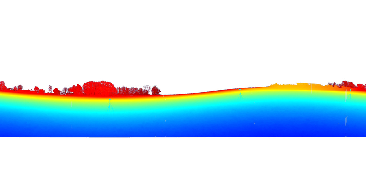
Pointcloud preview
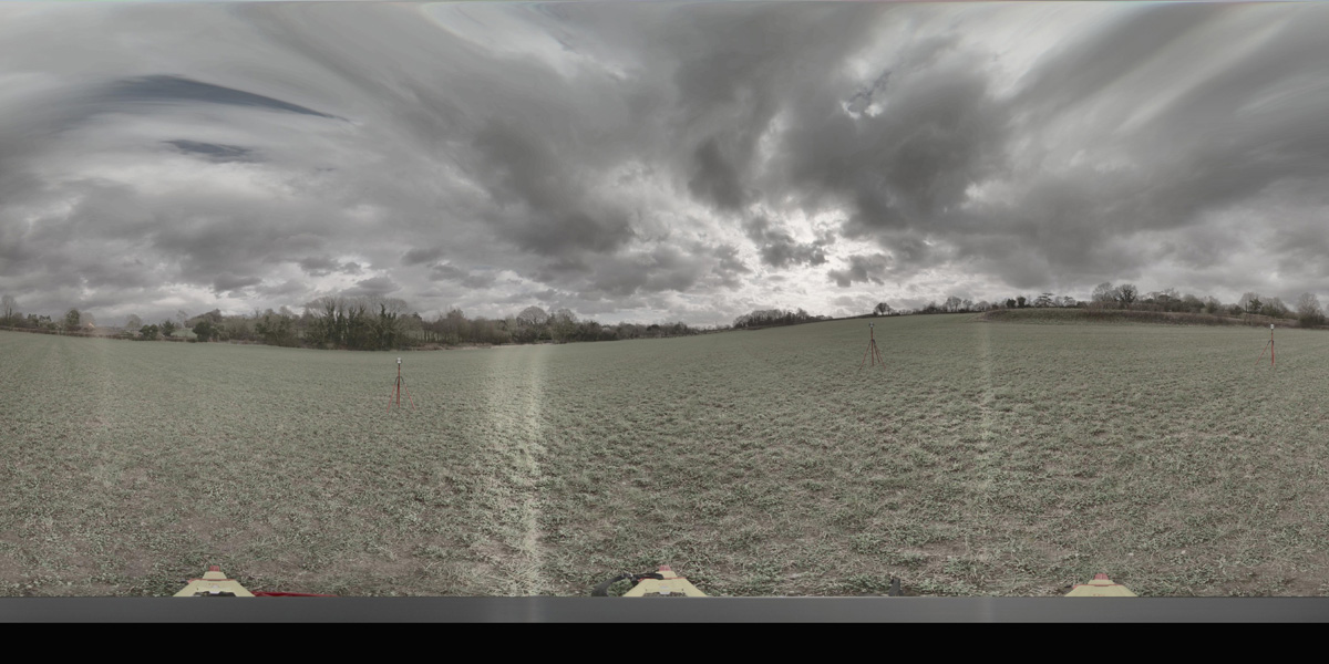
Panorama preview
Downloads
| Name | Kind | File size |
|---|---|---|
| O_1_51.txt | Info | 633.0 B |
| clean_cloud51_UPDATE.pcd_.zip | Pointcloud | 188.5 MB |
| rep1-50.hdr | Panorama | 41.5 MB |
| rep2-46.hdr | Panorama | 41.3 MB |
| scene51_small_rgb.csv | WebGL RGB | 2.9 MB |
| scene51_small_xyz.csv | WebGL XYZ | 7.5 MB |
| StereoNEF-45.zip | Stereo | 989.0 MB |
| ThumbNails-48.zip | Stereo | 17.0 MB |
| Scene51_Res600_900_Depth.zip | Stereo LiDar 600x900 Depth Maps | 22.9 MB |
| Scene51_Res600_900_Masks.zip | Stereo LiDar 600x900 Motion Masks | 136.3 KB |
| Scene51_Res600_900_StereoIm.zip | Stereo LiDar 600x900 Stereo Images | 38.4 MB |
| Scene51_Res688_1032_Depth.zip | Stereo LiDar 688x1032 Depth Maps | 28.4 MB |
| Scene51_Res688_1032_Masks.zip | Stereo LiDar 688x1032 Motion Masks | 739.2 KB |
| Scene51_Res688_1032_StereoIm.zip | Stereo LiDar 688x1032 Stereo Images | 50.6 MB |
| SYNS-Scene-51.zip | Combined ZIP | unknown |